The European Space Agency's 'doomed' ERS-2 satellite re-entered Earth's atmosphere over the North Pacific Ocean at about 17:17 UTC (18:17 CET) on 21 February.
ESA says "No damage to property (caused by the satellite) has been reported".
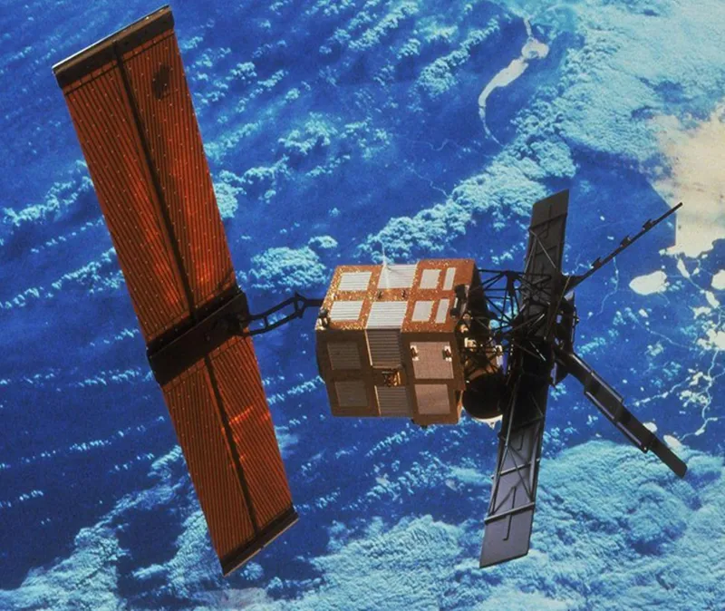
ERS-2 was an Earth-monitoring site that launched on 21 April 1995 from the European spaceport in Kourou, French Guiana.
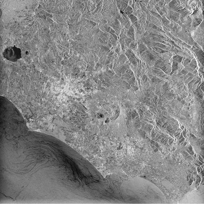
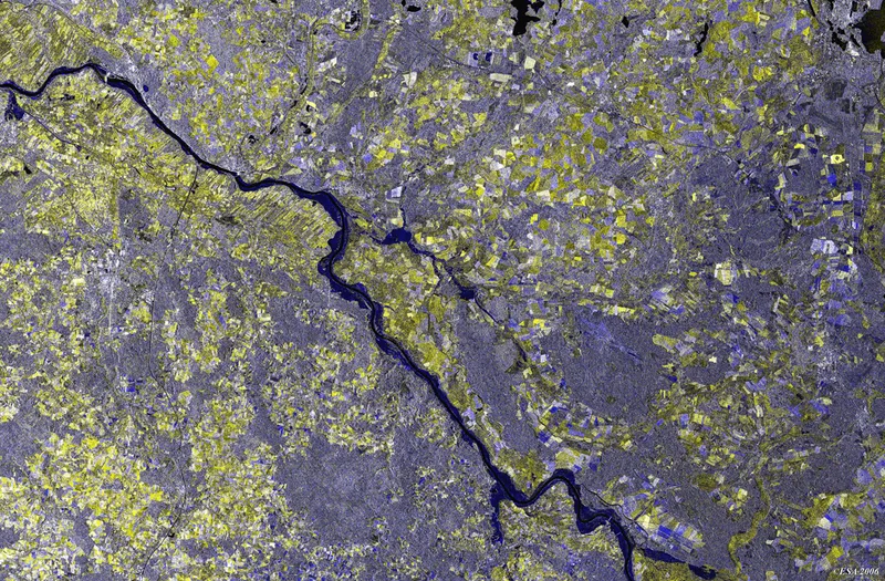
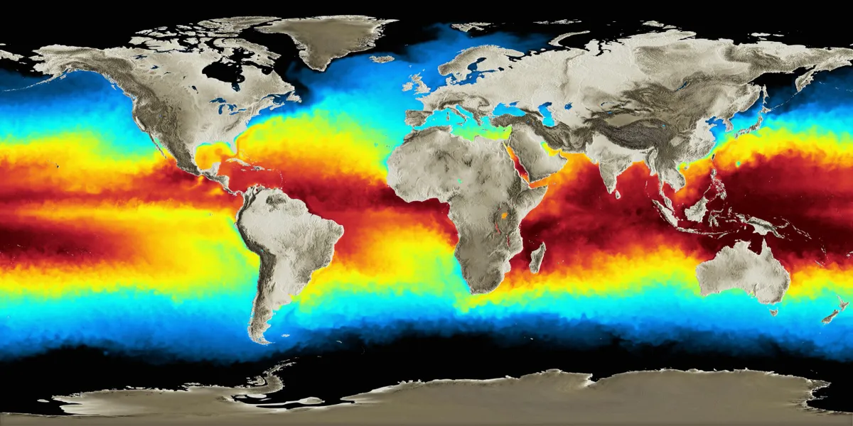
Throughout its mission the satellite collected data on Earth's land surface, oceans and polar caps, and was also used to keep track of natural disasters across the globe such as flooding and earthquakes in remote locations.
It was one of many Earth-orbiting satellites that monitor climate change.
In 2011 ESA decided to end ERS-2's mission and de-orbit the satellite in order to reduce its impact on the region of space around Earth.
Space junk is considered by many to be a growing problem, as debris from space missions and defunct satellites often remain in Earth orbit and, if left unchecked, could cause problems for future launches.
There is also the potential for a cascading of orbital debris to occur, such as that seen in the 2013 spaceflight movie Gravity; an effect known as the Kessler Syndrome.
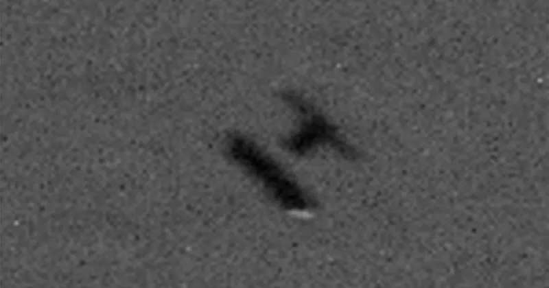
Where did ERS-2 break up?
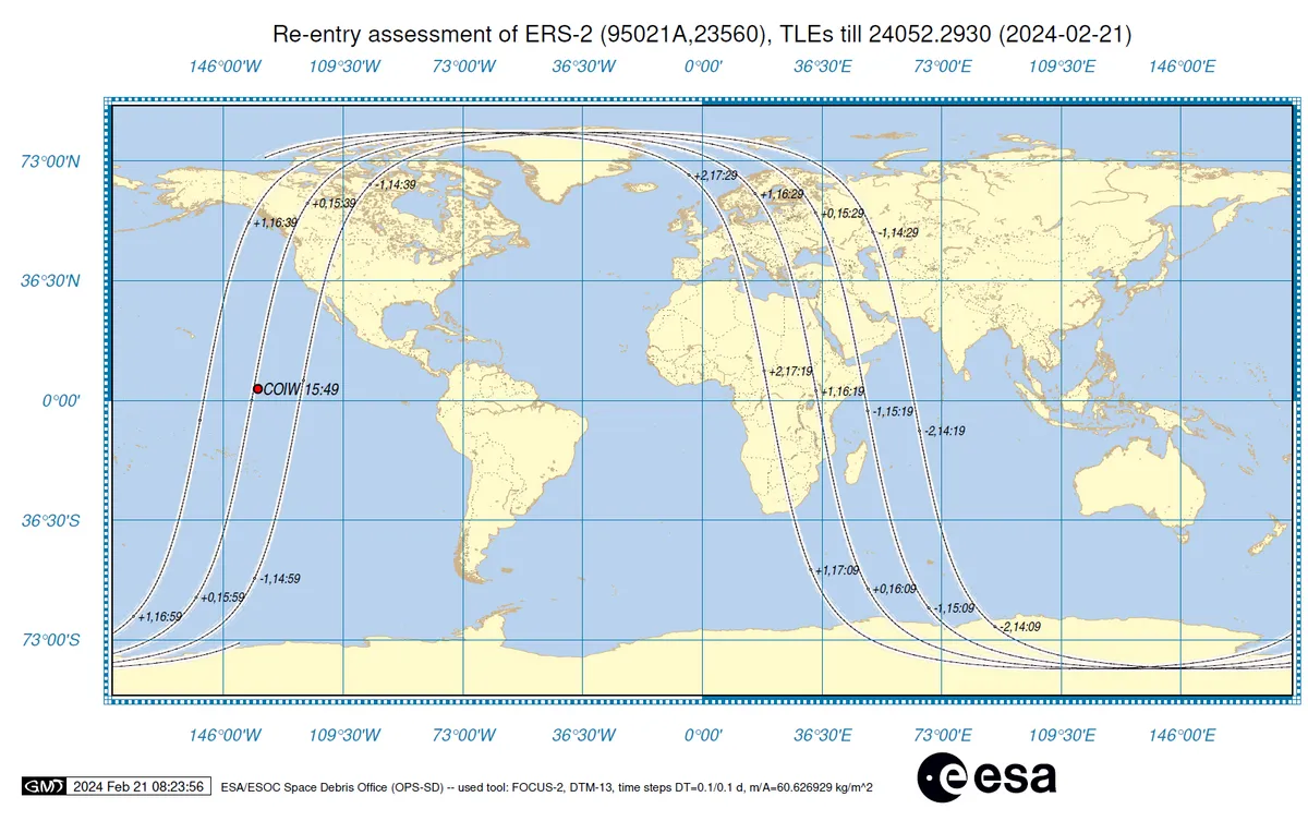
COIW is the 'centre of impact window', showing where ERS-2 would begin to break up.
ESA confirmed the satellite broke up over the North Pacific Ocean.
A statement from ESA said: "The vast majority of the satellite will burn up, and any pieces that survive will be spread out somewhat randomly over a ground track on average hundreds of kilometres long and a few tens of kilometres wide.
"Which is why the associated risks are very, very low."
Decommissioning ERS-2
The decommissioning of ERS-2 was conducted by a ground team at the European Space Operations Centre in Darmstadt, Germany.
Operators initiated 66 'de-orbiting manoeuvres' in July and August 2011, which used up ERS-2's remaining fuel and lowered its orbital altitude from 785km to 573km.
Then in September 2011, the satellite's batteries and systems were emptied and 'passivated', reducing the risk that ERS-2 might break up while still at an orbital altitude used by active satellites.
ERS-2 reentry
The European Space Agency says ERS-2’s reentry was ‘natural’, as it was no longer possible to control the satellite.
The only thing causing the satellite to slow down and its orbit to 'decay', bringing it closer and closer to Earth, was atmospheric drag.
"During reentry, the satellite will break up into pieces, the majority of which will burn up," a statement from ESA said, before the event.
"The risks associated with satellite reentries are very low."
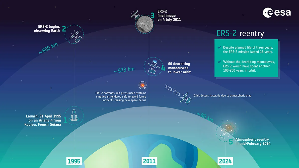
Why ERS-2 was deorbited
The key thinking behind the safe deorbiting of ERS-2 was the responsible removal of satellites and other debris from Earth orbit in order to reduce so-called space junk.
"There are now thousands of active and defunct satellites orbiting the Earth and ERS-2 is the latest to undertake the return leg of its journey as it re-enters the Earth’s atmosphere," says Dr James Blake, Research Fellow at the Centre for Space Domain Awareness, University of Warwick.
"This is a fate that awaits uncontrolled satellites and debris that can no longer counteract the drag forces exerted by the Earth’s atmosphere – indeed, operators are encouraged to speed up the re-entry of their defunct satellites to keep space clear for future missions.
“Atmospheric drag is highly influenced by solar activity – ‘weather’ from the Sun that affects conditions in the near-Earth environment, where the satellites orbit.
"This is still very unpredictable, and so it’s a huge challenge to predict when and where a satellite will re-enter.
"Imagery from other satellites in space can supplement observations taken with ground-based sensors to help paint a clearer picture, and it’s exciting to see this technology advance."
ERS-2 achievements
So what did ERS-2 achieve while in Earth orbit, and what is its legacy?
"The ERS-2 satellite, together with its predecessor ERS-1, changed our view of the world in which we live," says Mirko Albani, Head of ESA’s Heritage Space Programme.
"It provided us with new insights on our planet, the chemistry of our atmosphere, the behaviour of our oceans, and the effects of humankind’s activity on our environment."
ERS-2 data can be accessed via ESA’s Heritage Space Programme and provides global records that scientists can use to monitor climate change.
ERS-1, the predecessor of ERS-2, ended operations in March 2000 following a omputer and gyro control failure.
Throughout the programme, data from both ERS satellites has already supported over 5,000 projects producing about 4,000 scientific publications.