This timelapse video from NASA shows how lava from Russia’s Krasheninnikov volcano continues to spread since its surprise eruption last year, and is a prime example of how space technology is used to monitor the environment here on Earth.
Krasheninnikov is the name of pair of twin volcanoes located on the Kamchatka Peninsula – a long spit of land sticking out into Pacific Ocean from Russia’s eastern shore, roughly halfway between Japan and Alaska.
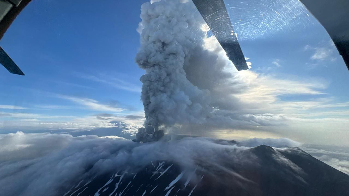
The two had been inactive since around 1550 AD – but the northernmost volcano in the pair erupted on 30 July 2025, seemingly triggered by an earthquake in the nearby ocean.
Luckily, the same date – 30 July 2025 – had also seen the launch of NISAR, an Earth-monitoring satellite that is operated jointly by NASA and the Indian Space Research Organisation (ISRO).
More Earth from space

NISAR's Earth-monitoring mission
Accordingly, NISAR has been monitoring the lava flow from Krasheninnikov since 25 December last year, flying over the region once every six days.
The NISAR satellite is equipped with a technology called Synthetic Aperture Radar, or SAR.
SAR bombards the Earth with thousands of microwave pulses per second, from an altitude of 747km (464 miles), and then maps out the reflected signals to create an accurate picture of the terrain below.
Uniquely, NISAR has not one but two complementary SAR systems: one operated by NASA at the L-band (24cm) wavelength and one operated by ISRO at the S-band (9.4cm) wavelength.
The two frequencies have different response characteristics – for instance, L-band can pass through tree canopies to map out the ground below, while S-band can be used to map the canopies themselves.
So by combining the two, the NISAR satellite can capture images that are far more detailed than was possible before.
The video seen above is a timelapse created by joining together images captured during August 2026.
In it, lava from Krasheninnikov can be seen filling a smaller, inner caldera and then overflowing into a wider crater, before spreading out in a fan-like shape.
There are numerous volcanoes on the Kamchatka Peninsula, and the more active ones are closely monitored by volcanologists and seismologists.
Krasheninnikov, not having erupted for nearly five centuries, wasn’t one of them – but now, thanks to NISAR, scientists have access to high-resolution video of activity in the region anyway.
What’s more, the same can be said of any of the world’s 1,300 or so active, above-ground volcanoes – which should enable a quicker and more appropriate response should one of them erupt unexpectedly in future.