Something big happened in 2020. According to the Global Carbon Project, carbon dioxide (CO2) emissions declined by 2.4bn tonnes – the biggest drop ever recorded.
It was a faint silver lining to a year of COVID-19 lockdowns, and a distraction from the longer-term trend – in 2019, CO2 emissions hit a record high (36.8bn tonnes).
As restrictions eased thanks to vaccination programmes, CO2 emissions began to return to pre-pandemic levels.
After taking office in January 2021, President Joe Biden reinstated America’s commitment to the Paris Agreement, an international treaty on climate change.
Read more:
- Can astronomy help us protect Earth?
- Has lockdown affected light pollution?
- Gallery: Apollo images of planet Earth

In April, British Prime Minister Boris Johnson set new, more aggressive emissions reduction targets for the UK.
In May, Germany brought its deadline to become carbon neutral forward to 2045.
And further pledges to cut CO2 may come in November 2021’s UN Climate Change Conference of the Parties (COP26).
But such pledges are meaningless unless action is taken to keep them. And how will we know if those actions are having an effect?
More to the point, how do we know how much CO2 there is in the atmosphere to begin with?
Scientists, such as Dr Annmarie Eldering, can answer those questions with the help of CO2-monitoring satellites.
Why monitor climate change from space?

Eldering has been involved in the task since NASA’s Orbiting Carbon Observatory-2 (OCO-2) got the go-ahead in February 2010.
She had joined NASA’s Jet Propulsion Lab in the late 1990s to work on measuring air pollution from space.
"It was a pretty small leap to go from air pollution to measuring CO2," she says.
"CO2 is the most important of the gases humans emit for driving climate change. It’s a really big problem, for us and the globe.
"It’s something we’ve got to understand and start acting on. But measuring CO2 from space is challenging."
Challenging is an understatement. Since 2016, the concentration of CO2 in the atmosphere has been over 400 parts per million – a level unseen since the mid-Pliocene, 3 million years ago.
But as high as that is, it’s still a staggeringly difficult amount to keep track of. Imagine trying to account for 400 pennies scattered among one million coins of all denominations spread across a floor.
Now imagine that each day someone adds a few more pennies or takes a couple away. That’s the challenge Eldering and the OCO-2 team took on.
They weren’t starting from scratch, though. Thanks to Eunice Foote and John Tyndall’s work in the 1850s, we know about the dangers of increasing concentrations of atmospheric CO2, a greenhouse gas, on the climate.

And since Charles David Keeling established a weather station on Hawaii’s Mauna Loa volcano in 1958, we’ve been monitoring them.
But the Mauna Loa Observatory only gives us a tiny snapshot of the CO2 in Earth’s atmosphere.
Even the global network of ground- and sea-based monitoring stations that has developed to support it can’t provide a complete picture.
And that’s because Earth’s atmosphere extends to around 10,000m above sea level, so most of it is nowhere near the monitoring equipment. Hence the need for CO2-monitoring satellites.
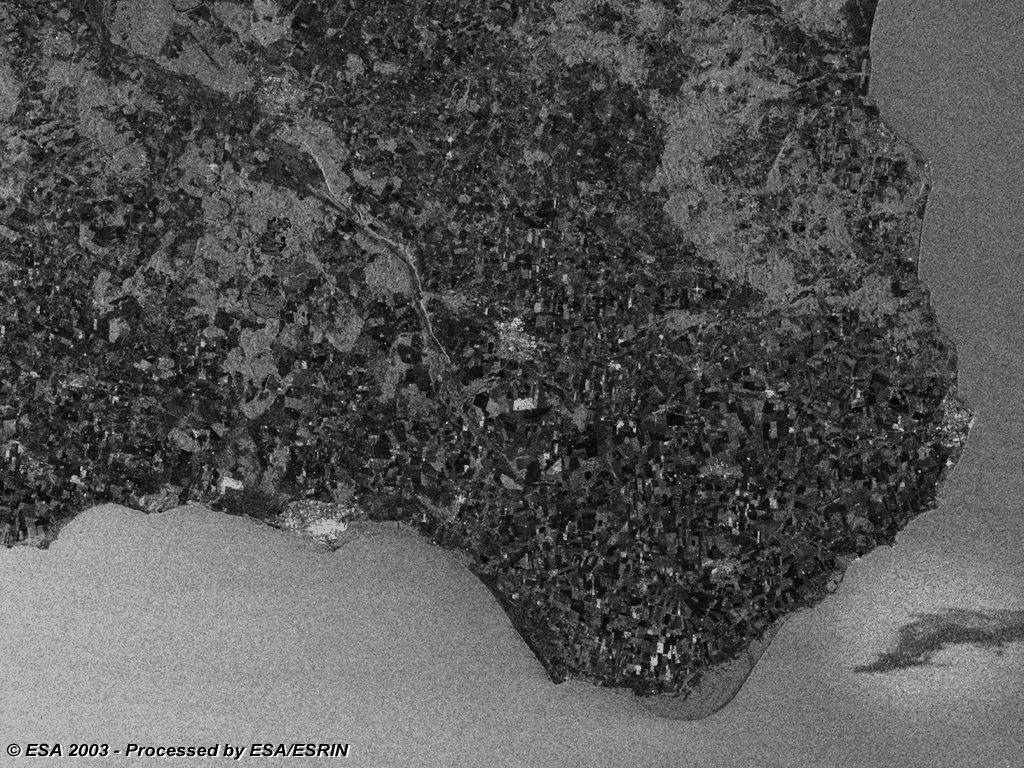
In 2024, the ERS-2 satellite made the news when it was purposefully deorbited and broke up over the Pacific Ocean.
"The big motivation was to find out, on a global scale, how CO2 moves between the atmosphere, the ocean and the land," says Eldering.
"As a lot of our information came from ground- and ship-based measurements, there was a huge part of Earth we didn’t observe."
What do climate-monitoring satellites do?
OCO-2 launched on 2 July 2014 and OCO-3 on 4 May 2019. Together, they help to keep track of the CO2 in Earth’s atmosphere.
Fundamentally, they’re the same – both carry an instrument containing spectrometers that measure wavelengths of sunlight that have reflected off Earth’s surface and passed through the atmosphere.
"What’s important about that is every gas [in the atmosphere] has a unique way of interacting with light," says Eldering.
"[Each gas] absorbs a little bit of light as it passes through. So if you know the pattern of absorption for a particular gas and you’ve got a really precise measurement of the light; you can see that there were more molecules [of that gas] here than there were over there."

With that information, scientists can see where CO2 is accumulating and how it’s influenced by temperature and pressure changes, climatic or geological events (such as El Niño events or volcanic eruptions), and even seasonal vegetation growth.
Where OCO-2 and OCO-3 differ is in what their instruments are attached to.
OCO-2’s is packaged into a satellite in heliosynchronous orbit; OCO-3’s is mounted on the International Space Station (ISS).
What that means is OCO-2 orbits the poles at an altitude of 700km, passing over any given spot at the same time (guaranteeing it’s in sunlight).
Meanwhile, OCO-3 orbits with the ISS, about 400km above Earth, and sees different locations at different times.
Why is CO2 in Earth's atmosphere bad?

There has always been, and always should be, some CO2 in Earth’s atmosphere because every living thing emits CO2, either through respiration while it’s alive or decomposition once it’s dead.
But those emissions are balanced by the CO2 absorbed by photosynthesis and colder parts of the oceans.
The problem is that CO2 emissions from human activity – anthropogenic emissions – have unbalanced that natural cycle.
Ever since we began burning fossil fuels (oil, coal and natural gas) we’ve essentially been digging up CO2 that had been removed from the cycle and pumping it into the atmosphere.
But we’ve failed to balance those emissions by creating new sinks to absorb that extra CO2.
To make matters worse, by clearing vast areas of rainforest across the tropics, we’ve also decreased the capacity of Earth’s natural CO2 sinks, leaving us staring down the barrel of catastrophe.

Without taking action to reduce our CO2 emissions, we’re facing climate disaster.
The trouble is, we can’t tell if those actions are helping without knowing how much CO2 we’re responsible for.
We need to differentiate between natural and anthropogenic CO2, and that’s even harder than monitoring CO2 from space.
To return to the coin analogy, it’s akin to determining how many of those 400 pennies are real and how many are counterfeit.
It’s difficult, but not impossible, provided you have a device that can measure nitrogen dioxide (NO2) levels.
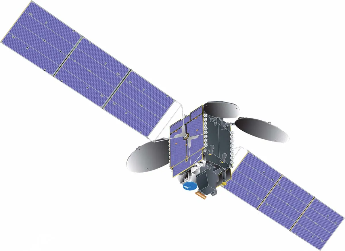
And that’s where the TROPOspheric Monitoring Instrument (TROPOMI) comes in.
TROPOMI explained

TROPOMI examines Earth’s atmosphere, while orbiting aboard the Copernicus Sentinel-5P satellite.
It was built by the European Space Agency (ESA) and the Netherlands Space Office, to measure, among other things, nitrogen dioxide (NO2).
"NO2 is one of the keys to differentiating natural carbon emissions from anthropogenic ones," says Eldering.
"NO2 comes from burning fuels, an anthropogenic source. So we’ve been testing the idea of combining OCO-3 and TROPOMI data."
Combining that data gives you a pretty reliable indication of the origin of the CO2.
Broadly speaking, if the data shows CO2 alone, it’s probably a natural emission, but if CO2 is present with NO2, chances are it’s anthropogenic.
The tests have proved successful. So successful that a European consortium is developing a system that uses this approach to evaluate the attempts by cities, countries and industries to reduce their CO2 emissions.

And the European Union’s Copernicus Earth Observation programme is preparing a constellation of three satellites scheduled to launch in 2025 that will play a key role in our bid to hit the emission reduction targets of the Paris Agreement.
"The whole idea is that, if we’re serious about taking action [to mitigate climate change], we need to be able to monitor the impact of those actions," explains Dr Richard Engelen, the Deputy Director of the Copernicus Atmospheric Monitoring Service (CAMS).
"We need direct feedback on how well they result in reduced CO2 concentrations in the atmosphere."
For that feedback to be useful it has to distinguish between natural and anthropogenic CO2. The Copernicus satellites, with their ground- and sea-based support network, can do this.
"We try to combine as much information as possible from different sources, so not just [satellite] observations, but also all we already know about fossil fuel emissions," says Engelen.
"We know where power plants are, for instance, we know where the big cities are and we have some knowledge about the variability of the emissions, in terms of energy consumption. We’ll use all of that and combine it to come to the best estimates of the emissions."
The Copernicus CO2 emission-monitoring service isn’t just another batch of satellites carrying spectrometers; it’s a big step forward in terms of coverage and precision.

The Copernicus satellites will be able to cover Earth’s surface faster and in greater detail, giving us our clearest indication yet of how much CO2 is in the atmosphere and where it came from.
"Being able to extract the anthropogenic signal from all the natural variability we see – this is really a challenge and where we’re working on top of our scientific ability," says Engelen.
"It’s still very much in the development phase and we’re aiming to have an operational service by 2026.
"That’s because within the Paris Agreement, countries have agreed on a global stocktake process where they report on the results of their actions [to reduce emissions] every five years.
"The first is in 2023, reporting on the [years since the rules were adopted in 2018]. But the next one is in 2028… so we want Copernicus to be ready for that, which gives us a few years to build the new service. But it’s quite a large undertaking."
It’s a large undertaking however you look at it. Large in terms of ambition.

Large in terms of the number of organisations behind it – CAMS, implemented by the European Centre for Medium-Range Weather Forecasts, will handle the satellites’ data, but it’ll be ESA that builds and launches them, and EUMETSAT, the European Organisation for the Exploitation of Meteorological Satellites, that operates them.
But, most of all, as Engelen explains, it’s large in terms of purpose.
"You have to see it as part of the global effort to reduce emissions. We want to know how successful these efforts are but, as we’re working within a global agreement, all the countries need to be able to trust each other.
"[Copernicus] will help to build more of that trust. The advantage of using satellite observations is that it provides a much more consistent view of emissions globally than we would get from individual approaches."
How increasing CO2affects Earth’s climate

Carbon dioxide (CO2) accounts for just 0.04% of Earth’s atmosphere, so how can it have such a big effect on the planet’s climate?
Well, firstly, CO2 traps heat (hence it’s known as a greenhouse gas) and secondly, it remains in the atmosphere for centuries.
Earth receives huge quantities of energy from the Sun in the form of sunlight. As this is short-wave radiation, it passes through the atmosphere largely unhindered.
Most of that energy is absorbed by the surface, but about 17% is reflected back in the form of heat (long-wave, infrared radiation).
Infrared radiation effectively passes straight through oxygen and nitrogen (which comprise the vast majority of Earth’s atmosphere), thanks to their relatively simple molecular structure.
But the molecular structure of CO2 is more complex, so it absorbs the infrared and heats up, then begins to radiate its heat to molecules nearby.
The more CO2 molecules there are, the more of that heat is absorbed, the hotter Earth’s atmosphere becomes, and the greater the impact on Earth’s climate.
Methane, another greenhouse gas, has an even more complex molecular structure than CO2 so absorbs even more heat.
But methane stays in the atmosphere for little more than a decade. CO2 can hang around for anything from 300 to 1,000 years; hence the accumulation of it has a significant impact on our planet’s heat balance.
For evidence of the effect greenhouse gases can have on a planet’s climate, look no further than Venus.
With a similar size and atmosphere to Earth early in its history, it was essentially Earth’s twin until around 700 million years ago, when a runaway greenhouse effect took hold.
Today, its atmosphere is 96% CO2 and its surface temperature is around 460°C – hot enough to melt lead.
4 missions to monitor Earth's climate
TEMPO, NASA & Smithsonian Astrophysical Observatory
The Tropospheric Emissions: Monitoring of Pollution (TEMPO) instrument will fly aboard a commercial satellite and measure the daily variations in air quality over North America.
Expected to launch in 2022, it will assess concentrations of ozone, nitrogen dioxide, sulphur dioxide and other chemicals from a geostationary orbit to track emissions and improve air-quality forecasts.
GRACE-FO, NASA & German Research Centre for Geosciences

The Gravity Recovery and Climate Experiment Follow-On mission is a pair of satellites launched in 2018 to monitor Earth’s water.
GRACE-FO picks up where GRACE left off, providing an indication of climate variability by measuring small changes in the planet’s gravity field that correspond to the amount of water in lakes, rivers, oceans, ice sheets and the ground.
Copernicus Sentinel fleet, ESA

Europe’s growing stable of Earth-monitoring satellites currently comprises six missions (Sentinel-1, -2, -3, -4, -5P and -6), but will grow over the coming years with the launches of Sentinel 5 and further expansion missions, including OCO-2.
Monitoring everything from soil moisture, water quality and land cover to surface temperature, sea level, air quality and pollution, they provide key information on Earth’s changing climate.
Suomi NPP, NASA

Launched in 2011, the Suomi National Polar-orbiting Partnership (Suomi NPP) satellite collects a range of data to improve weather forecasting and provide insights into climate change. It has five instruments that monitor changes in vegetation productivity, atmospheric ozone, sea and land surface temperatures, as well as monitoring glaciers, sea ice, land ice and natural disasters around the world.
This article originally appeared in the August 2021 issue of BBC Sky at Night Magazine.